Ελληνικά
103
KM
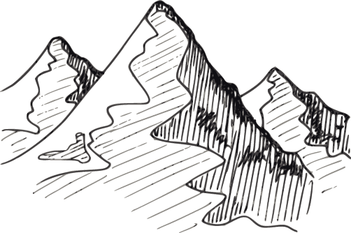
+4200
TOTAL ASCENT
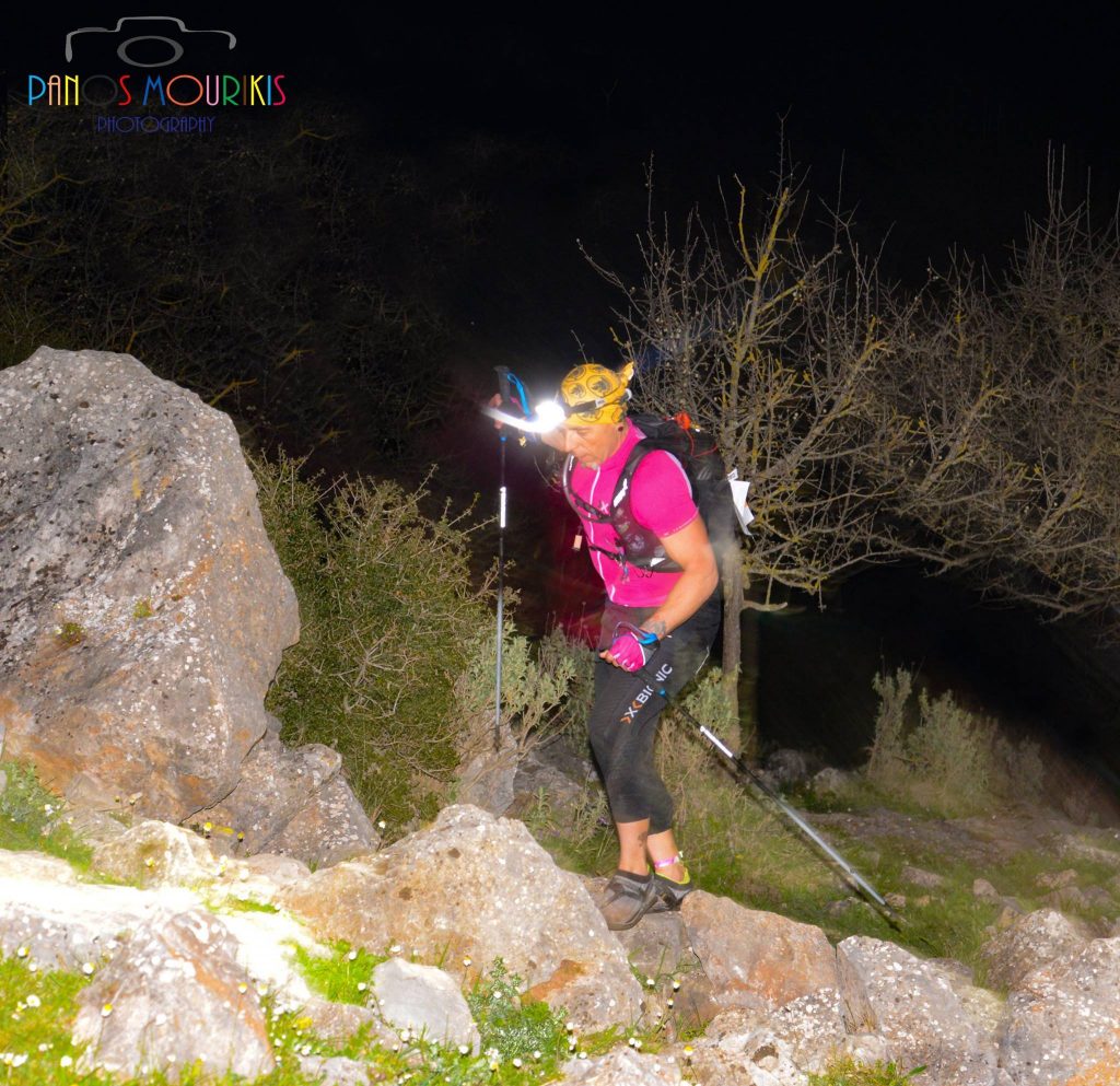
22
HOURS
Summary
Start: 08/05/2027 06:00
Start point:Ipsos Port
Finish point: Corfu Liston
Closing time: 09/05/2027 04:00
Food stations: 12
ATTENTION: NEW ROUTE CHANGES (GPX FILE) ARE UPLOADED. PLEASE LOAD THEM UP ON YOUR WATCHES. NOW THE ROUTE HAS 22 HOURS AND NEW CUT OFF TIMES. PAYE ATTENTION.
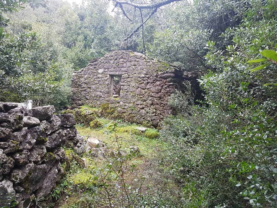
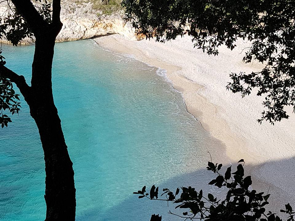
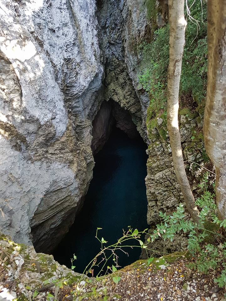
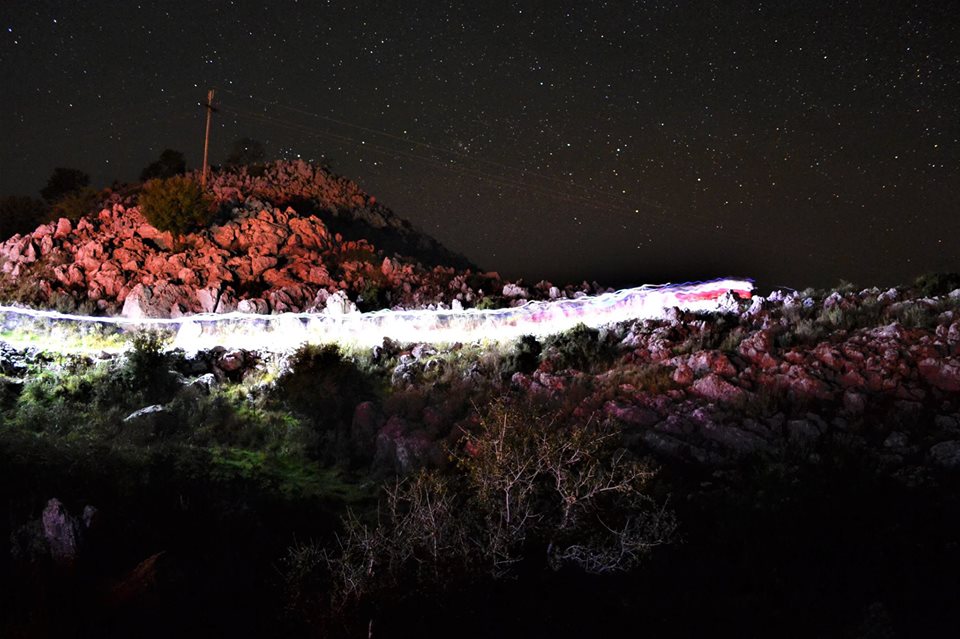
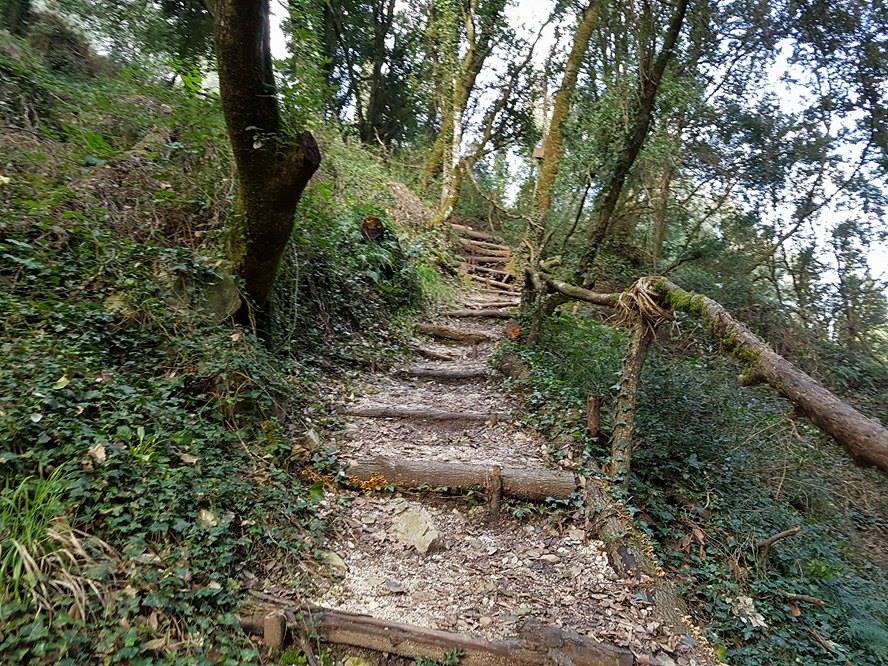
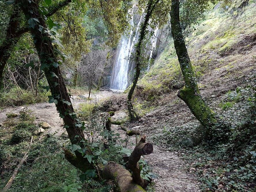
The length of the route is 103km with 4200+D meters of altitude difference. It starts from Ypsos and goes towards the village of Spartila at the 5th km where there is a water supply station. It continues its upward course towards the Taxiarchis and then towards Mount Pantokrator, which is also the highest point of Corfu. At the 12th kilometer is the highest point of the race and at Kelia an aid station. From there we enter the path again and through technical terrain we reach the village of Strinilas, passing through the village we descend towards the church of Panagia of the Routes. After the church we take the paved road then turn right and enter the beautiful smooth path which takes us to the village of Sgourades. There is a tap with drinking water in the village square. For about 2 km we move on the asphalt and then we turn right at the 22nd kilometer on the orchid path to the village of Zygos. Leaving the village behind we move along the stream for about 2 km, and then we head uphill to the left until the 27th kilometer to the traditional village of Sokraki. Then we move on the ridge of the mountain passing the areas of Pilida – Trumpeta – Agia Anna seeing on our left the city of Corfu and on our right hand the Northern part of the island and the Diapontian islands Othoni Erikoussa Mathraki. Then we pass through the village of Lakones at the 42nd km where there is a central aid station. From this point there is a 2 km asphalt route and next to the Acapulco bar it enters a beach path towards the beautiful village of Liapades. It is worth paying attention to the view of Paleokastritsa. It continues and passes through the village of Giannades at the 54th km where there is water supply and after the village of Ermones at the 59th km where there will be the fourth central aid station with the athletes’ drop bags. At this point there is a unique natural environment harmoniously combining the deep green with the blue of the sea, it is one of the best view of the island. From this point and through a dirt road, our route goes to the village of Ermones, successively following the beaches of Myrtiotissa, Glyfada, Kontogialo, while in the village of Varypatades there is a water supply station. We continue through the dirt road from the villages of Kouramades, Castellanoi where there will be a central aid station. We head towards the village of Agioi Deka with a water supply station and descend to the village of Garounas on a traditional dirt path that is not particularly technical. We pass through huge olive groves to the village of Stavros, where there will be the last central aid station. Leaving Stavros, we go down on a technical path to the village of Benitses and then we go up to the monastery of Agia Kyriaki next to the Achillion Palace. From there, following the path of Yarda, we reach Perama and passing across the bridge we see the Mouse Island (Pontikonisi) and the church of Vlaherena on our right. We run up to the road on the left pass by Mon Repo Resort and, reaching the last kilometers from the beach of Garitsa, we go up to the central square of Spianada and finish in front of Liston the central Square of Corfu town.
Route map for CORFU MOUNTAIN TRAIL ULTRA 2021 by VASILEIOS ALAMANOS on plotaroute.com