44
KM
+2200
TOTAL ASCENT

10
HOURS
Summary
Start: 02/05/2026 15:00
Start point: Ermones
Finish point:Corfu Liston
Closing time: 03/05/2026 01:00
Food stations: 6
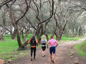
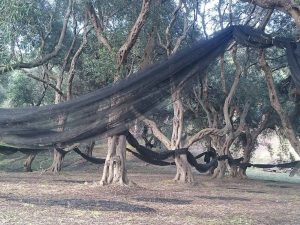
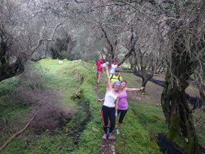
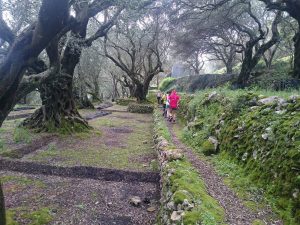
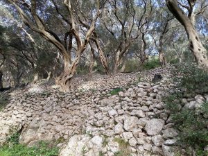
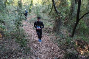
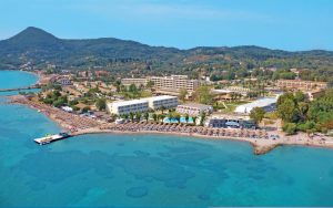
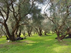
The course has 2200m + elevation and starts from Ermones this point and through a dirt road, our route goes to the village of Ermones, successively following the beaches of Myrtiotissa, Glyfada, Kontogialo, while in the village of Varypatades there is a water supply station. We continue through the dirt road from the villages of Kouramades, Castellanoi where there will be a central aid station. We head towards the village of Agioi Deka with a water supply station and descend to the village of Garounas on a traditional dirt path that is not particularly technical. We pass through huge olive groves to the village of Stavros, where there will be the last central aid station.
Leaving Stavros, we go down on a technical path to the village of Benitses and then we go up to the monastery of Agia Kyriaki next to the Achillion Palace. From there, following the path of Yarda, we reach Perama and passing across the bridge we see the Mouse Island (Pontikonisi) and the church of Vlaherena on our right. We run up to Kanoni, pass by Mon Repo Resort and, reaching the last kilometers from the beach of Garitsa, we go up to the central square of Spianada and finish in front of Liston the central Square of Corfu town.
Route map for CORFU MOUNTAIN TRAIL RAIN TRAIL 40KM by VASILEIOS ALAMANOS on plotaroute.com


 Ελληνικά